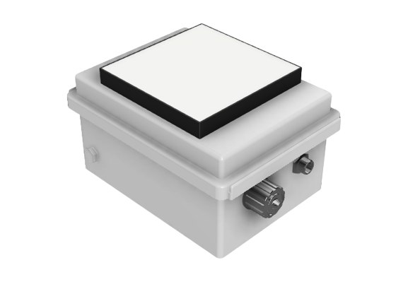
SMIGOL L-band GNSS reflectometer
Description
For local constant monitoring and sensor networks.
This sensor can be understood as a bi-static radar where the GPS satellite is the emitter and SMIGOL the receiver. SMIGOL analyzes the difference between the signal received directly on the sensor and the one reflected from ground to the sensor. The difference between these two signals can be used to obtain soil related measurements.

Advantages
- Soil moisture and altimetry measurements
- Data is obtained through non invasive methods: not interfered by animals nor ground vehicles.
- To be installed on a pole. Area covered: three times pole height
- Fully autonomous: fed by solar panels, and data transmitted via GPRS receiver.
Applications
Agriculture and environment
- Local soil moisture
- Irrigation planning
- Vegetation heigh
Civil Engineering and minning
- Levee monitoring
- Water level measurement
Main technical specifications
GNSS Reflectometer
- Available frequencies GPS, Galileo, Beidou
- Antenna configurations:
- towards the horizon (SMIGOL like)
- up-looking and downlooking antenna
- RAW data capture
- Sampling rate: up to 10 Hz
Power input
- Voltage: 12 V
- Electronics current consumption < 0.5 A
Data
- Internal storage
- Ethernet interface communication
- Wireless IoT interface
SMIGOL references
Soil Moisture Retrieval Using GNSS-R Techniques: Experimental Results Over a Bare Soil Field
Rodriguez-Alvarez, N.; Bosch-Lluis, X.; Camps, A.; Vall-llossera, M.; Valencia, E.; Marchan-Hernandez, J.F.; Ramos-Perez, I.
Geoscience and Remote Sensing, IEEE Transactions, 2009.
Go to abstract
Soil moisture and vegetation height retrieval using GNSS-R techniques
Rodriguez-Alvarez, N.; Monerris, A.; Bosch-Lluis, X.; Camps, A.; Vall-llossera, M.; Marchan-Hernandez, J.F.; Ramos-Perez, I.; Valencia, E.; Martinez-Fernandez, J.; Sanchez-Martin, N.; Baroncini-Turricchid, G.; Perez-Gutierrez, C.
Geoscience and Remote Sensing Symposium,2009 IEEE International, IGARSS 2009.
Go to abstract
Vegetation Water Content Estimation Using GNSS Measurements
Rodriguez-Alvarez, N.; Bosch-Lluis, X.; Camps, A.; Ramos-Perez, I.; Valencia, E.; Hyuk Park; Vall-llossera, M.
Geoscience and Remote Sensing Letters, IEEE 2012.
Go to abtract
Water level monitoring using the interference pattern GNSS-R technique
Rodriguez-Alvarez, N.; Bosch-Lluis, X.; Camps, A.; Ramos-Perez, I.; Valencia, E.; Park, H.; Vall-llossera, M.
Geoscience and Remote Sensing Symposium (IGARSS), 2011.
Go to abtract
