ARIEL L-band microwave radiometer
Description
For large extensions and mobile platforms
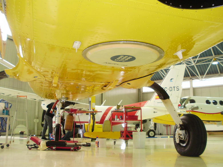
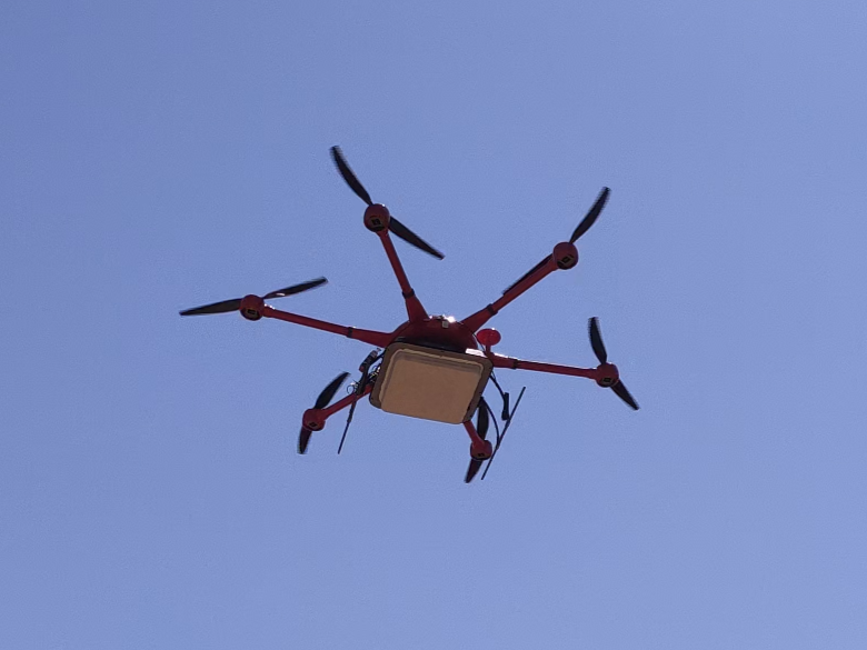
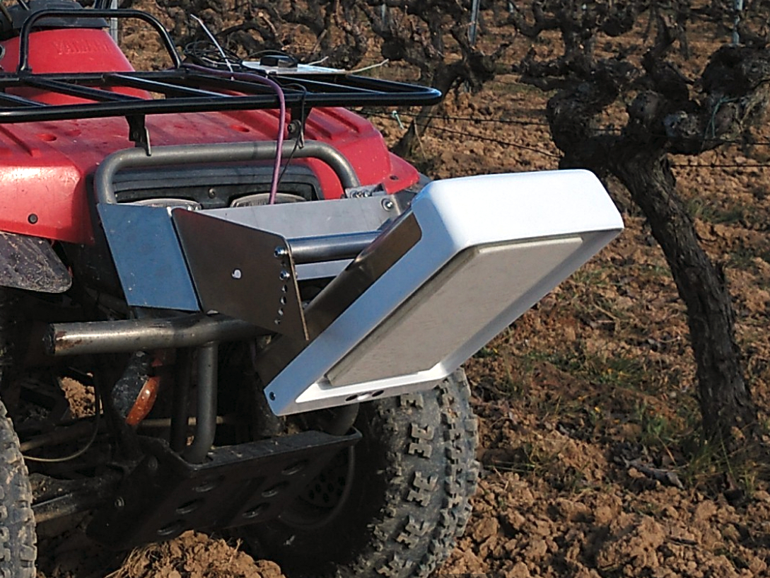
ARIEL is a microwave radiometer that can be used for soil moisture remote sensing. It is based on the same technology used by the instrument MIRAS on-board the ESA SMOS satellite mission.

Advantages
- Large extension can be covered without requiring infrastructure
- Configuration through web-based user interface
- To be used on board aircrafts, drones, and ground vehicles.
- Compatible with most common GIS software
ARIEL series


Applications
Environment
- Soil and soil moisture variability
- Sea ice thickness
- Irrigation planning
- Land management
Civil Engineering
- Levee inspection
- Tunnel and galleries inspection
- Surface moisture in linear infrastructure
Other
- Earth Observation, validation of satellite data
- Telcomm, location of sources of electromagnetic interferences
Main technical specifications
L-band radiometer
- Central frequency: 1.413 GHz
- Bandwidth: 20MHz
- Radiometric accuracy: 1 K at 1 Hz
- Sampling rate: up to 10 Hz
Processing software
- RAW data into brightness temperature software included
- Brightness temperature to soil moisture conversion software optional
- WGS84 EPSG, 4326 format
Power input
- Voltage: 12 V
- Electronics current consumption: 0.5 A
- Heating system: 1 A (ground and UAV), 4 A (aircraft)
Patch array antenna
- Dual polarization (H+V)
- Beamwidth: 37º (ground version), 37º (UAV), 22º (aircraft)
Positioning
- GPS, Glonass, Beidou integrated receiver
- WGS84 EPSG, 4326 format
Data
- Internal storage
- Ethernet interface communication
Configuration
- ARIEL is configurable using a web-based user interface
Weight
- 6 kg (ground), 3.8 kg (UAV), 15 kg (aircraft)
ARIEL references
Airborne soil moisture determination using a data fusion approach at regional level
Martin, F.; Marchan, J.F.; Aguasca, A.; Vall-llossera, M.; Corbera, J.; Camps, A.; Piles, M.; Pipia, L.; Tarda, A.; Villafranca, A.G.
Geoscience and Remote Sensing Symposium (IGARSS), 2011 IEEE International
Go to abstract
On the use of compact L-band Dicke radiometer (ARIEL) and UAV for soil moisture and salinity map retrieval: 2008/2009 field experiments
Acevo-Herrera, R.; Aguasca, A.; Bosch-Lluis, X.; Camps, A.
Geoscience and Remote Sensing Symposium, 2009 IEEE International, IGARSS 2009
Go to abtract
